~ citations to follow at later date ~ click the image to see a larger view ~
CORRECTION – with thanks to Marc-André Comeau – see Comment & Reply below
A mariner’s handbook of sailing directions, from the earliest days of sail when knowledge of unknown coasts might mean life or death. And an item of private intelligence of immense commercial and naval value. Rutter’s “Directions” often included visual sketches of approaches to a coastline. Here is an 1856 view of the approaches to San Juan Inlet, Pacific coast of Vancouver Island; a hand-drawn sketch using the same practice. Despite modern use of electronic navigation aids, the practice continues today. You just never know when computers and telecommunications links will fail.
This rare rutter manuscript journal was the personal possession of the captain of a French trading vessel traveling along the Côte d’Acadie between Canseaux (Canso, NS) and what is now Maine, USA.
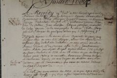
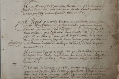
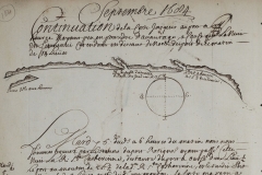
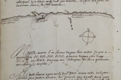
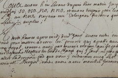
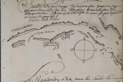
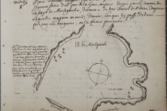
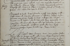
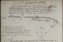
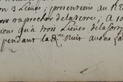
This not a rutter, as per say, but a manuscript journal of the ship “Marianne” dated 1684 (not 1604). That ship departed on an expedition along the Atlantic coast of Nova Scotia and parts of New Brunswick situated on the Bay of Fundy, July 19, 1684 – September 14, 1684. The ship was accompanied at first by another ship, the “St. Louis.” The owner of the boats, who also organized the expedition was Clerbaud Bergier, a French protestant who, in April 1684, was appointed lieutenant for the king in Acadia for three years. The crew of the Marianne consisted of Abraham Boudrot (Captain, most probably the ancestors of all Acadian Boudreaus), Guillame Guertin (pilot), Jean de Callais, Jean Lestidou, Jacque Petitpas Matelot, Julien Garson, and M. Challe.
Thanks Marc-André. The citation I had said “rutter” and this date. I will go check my notes one day. In the meantime, thanks much for the correction!