This is an assemblage of nearly 150 charts and surveys of Nova Scotia scattered across the internet. They are hardly ever seen together. Enjoy!
~ more images to follow ~ citations to follow at later date ~ Sorting Rationale: 1710 = Year of transfer of the Nova Scotia component of l’Acadie from French control to British control. Note: images are screenshots. Many are of the coast from Liverpool to Halifax [esp. between LaHave & Lunenburg (south) and Chester (north)].
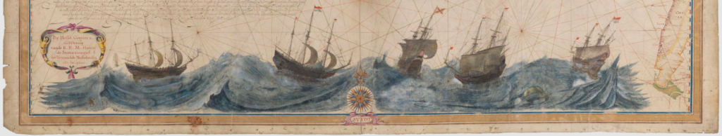
Charts & Surveys 16th C to 1710
Note: This is a non-commercial hobbyist site.
I’m interested in your Horne Lake map, and why an area of the strata is depicted as national park. Concept sketch Dec 2016. Has there been some discussion in this regard?
Thanks Marlene