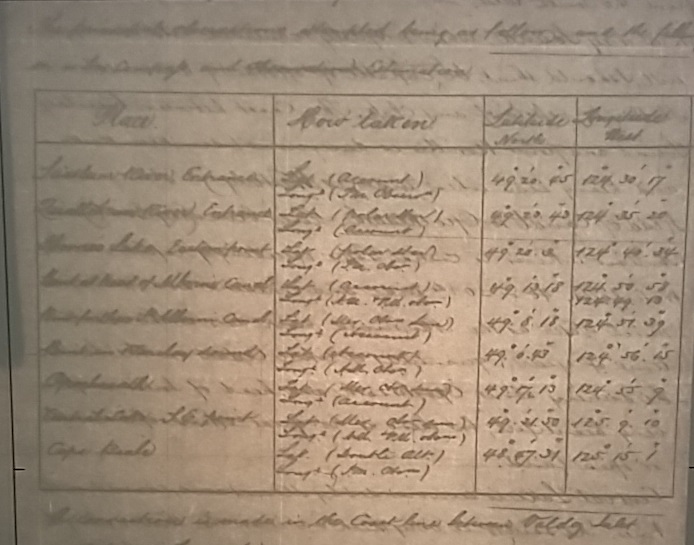
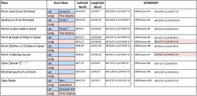
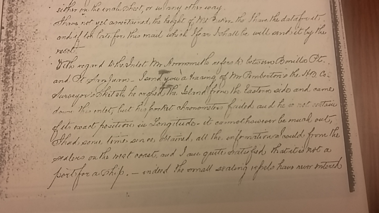
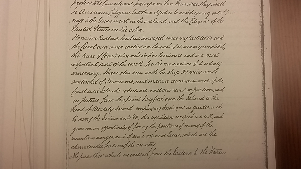
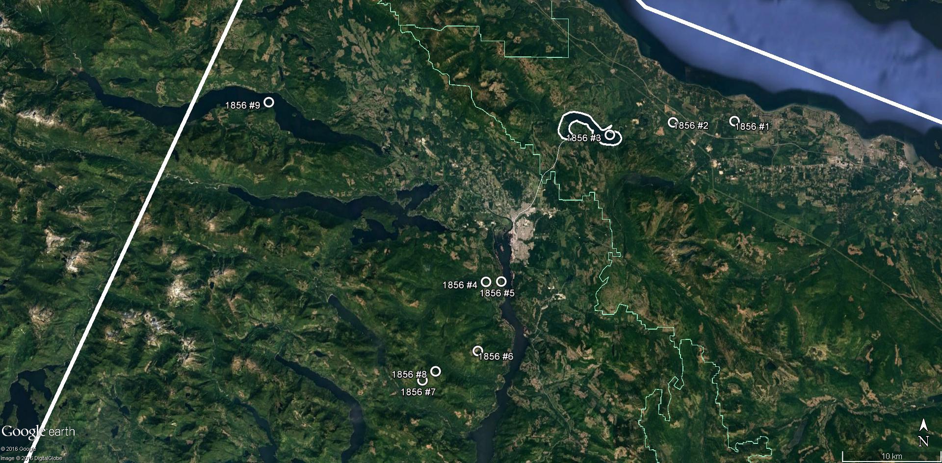
This project is to trace the 19th C surveys (circa 1856-62) using modern nav tools.
Period maps can be used to locate geographic features.
The plan is to use HM Nautical Almanac Office’s NavPac4 celestial navigation software . HMNAO staff provided brilliantly useful advice.
{Wait for the pics to load!}
